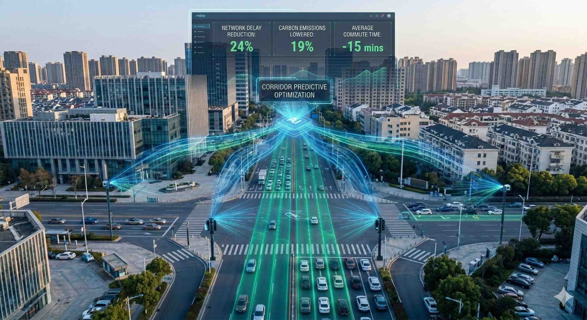
Houston is a sprawling megacity that has long been synonymous with grueling traffic jams. However, instead of endlessly widening its highways, Houston’s engineers made a strategic bet on Intelligent Transportation Systems (ITS) and adaptive networks.
Today, the city’s traffic management relies heavily on real-time data analysis. Below, we break down how this system works and how Houston is winning the war against traffic congestion on houstoname.com.
The Command Center: Houston TranStar
All of Houston’s traffic management magic is coordinated from a single hub: Houston TranStar. This unique consortium, established back in 1993, brings together four key agencies under one roof: the city government, Harris County, the METRO transit authority, and the Texas Department of Transportation (TxDOT).
Instead of bogged-down bureaucracy and interagency turf wars, these entities pool their resources together. Every year, the center coordinates responses to over 110,000 road incidents, minimizing the time an accident blocks a lane.
The efficiency of this synergy relies on several critical factors that turn bureaucratic routine into a finely tuned machine.
- A Unified Digital Space. A shared, integrated database and direct access to thousands of CCTV cameras allow all four agencies to view real-time traffic conditions clearly and without delays, eliminating the need for lengthy interdepartmental approvals.
- Instant Operational Response. Thanks to the Motorist Assistance Program (MAP) and having dispatchers from all levels sharing the same floor, decisions to deploy emergency services, tow trucks, or reroute public transit are made in mere seconds.
- Dynamic Driver Alerts. Information about accidents or delays is instantly displayed on electronic message boards above freeways and pushed to mobile apps, helping drivers adjust their routes in time to bypass major bottlenecks.
This approach fundamentally reshapes the philosophy of managing a major metropolis. When a crisis hits or a major crash threatens to paralyze the roads, engineers, patrol officers, and city officials act as a unified team rather than isolated departments focused on their own internal KPIs. This collaborative effort prevents total gridlock, even as the number of cars on the road continues to climb.
Houston TranStar’s track record proves that the most valuable resource in fighting traffic jams is not necessarily laying more asphalt, but rather smart data management and a willingness to cooperate. For three decades, this consortium has stood as a global blueprint for how interagency trust can translate into millions of hours saved and less stress for drivers.
How the System “Sees” Traffic: AWAM and AVI
To effectively manage traffic flow, you need to know its speed and density. Houston pioneered the use of two distinct, anonymized tracking technologies to achieve this.
- AVI (Automatic Vehicle Identification). A network of readers installed over highways logs passing RFID tags, such as toll road transponders. The data is instantly anonymized, and the system calculates the average traffic speed between point A and point B.
- AWAM (Anonymous Wireless Address Matching). This technology detects active Bluetooth signals from inside vehicles, including navigation devices, infotainment systems, and smartphones. When a single Bluetooth ID passes two separate sensors, the system determines exactly how long it took to travel that stretch of road.
Scaling up these methods provides highly accurate analytical data without infringing on citizen privacy, bringing lasting advantages to the city’s infrastructure.
- Hybrid Coverage. Mixing radio frequency tags with wireless signals allows the city to monitor both tollways and urban arterials, where drivers are less likely to use transponders.
- Passive Data Collection. Drivers don’t need to do a thing or launch specific mobile apps—the data is collected automatically as vehicles travel naturally through the city.
- Predicting Anomalies. By tracking speed dynamics across checkpoints, algorithms can spot unusual slowdowns before patrol officers or cameras even record an incident.
These two technologies reshape the concept of traffic monitoring, replacing subjective guesswork with hard mathematical data. Instead of setting up expensive radar equipment every few feet, the city leverages existing digital footprints to model traffic conditions in real time.
As a result, Houston TranStar gets a vivid, real-time speed heat map that refreshes every few seconds. This provides a mathematically sound foundation for dispatch decisions, automated traffic light adjustments, and up-to-date road signs.
Smart Traffic Lights and Adaptive Control
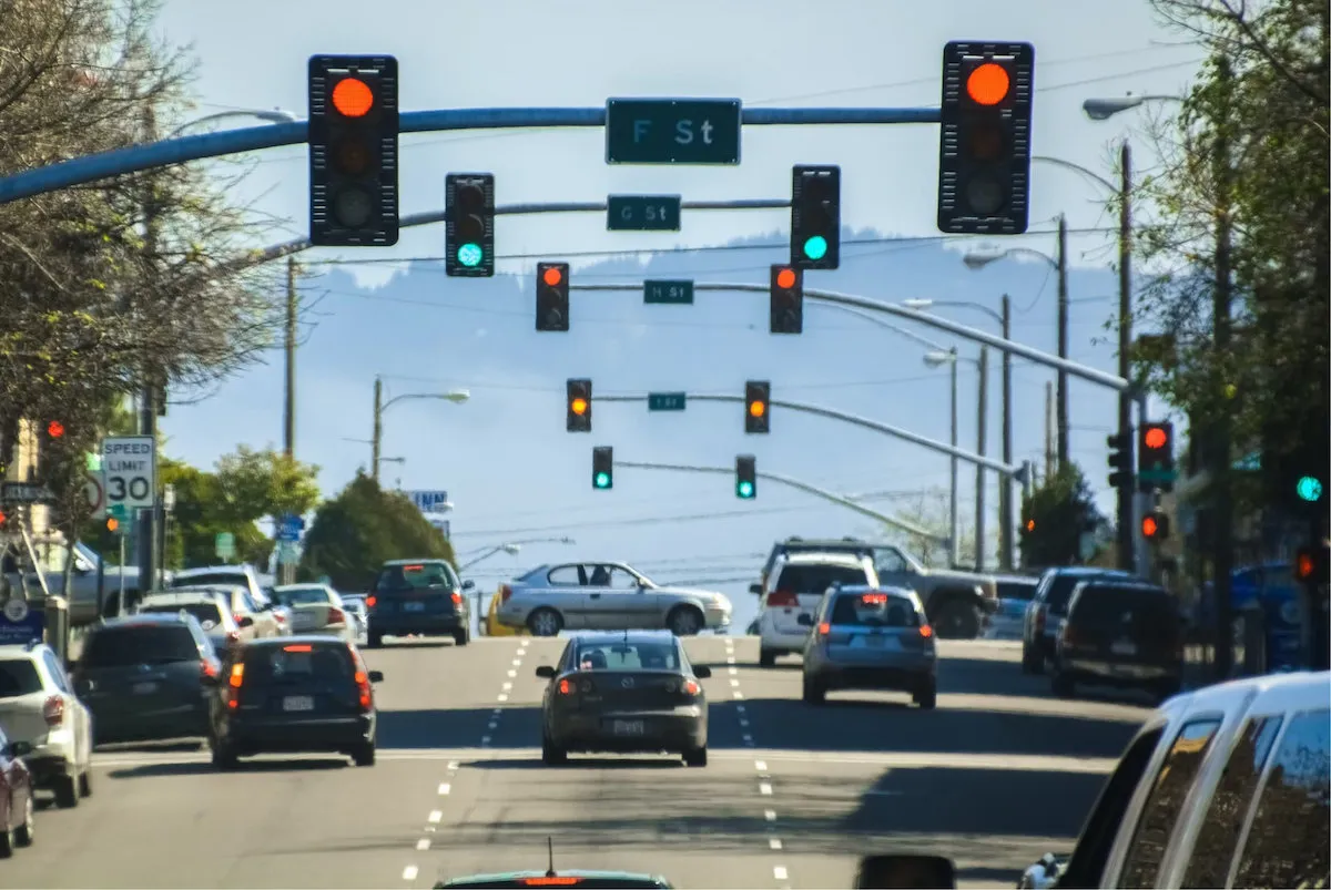
Traditional traffic signals run on pre-programmed timers—for example, giving drivers a green light for 45 seconds in the morning and 30 seconds in the evening. In contrast, Houston’s adaptive signals act more like a living organism.
They utilize an array of AI cameras, radars, induction loops, and ultrasonic sensors. Equipped with computer vision, these cameras assess queue lengths at intersections in real time, delivering precise traffic density analysis. Signals shift dynamically based on this data. If a side road is empty, the AI won’t hold a green light for it, choosing instead to keep traffic moving on the busier main thoroughfare.
Furthermore, interconnected intersections “talk” to one another to create a dynamic “green wave” for oncoming cars. Another major perk is public transit priority: smart signals recognize approaching METRO buses and can slightly extend a green light to keep transit routes running on time. This approach has cut vehicle delay times at intersections in pilot areas by 40% and trimmed overall travel times by 25%. Implementing this intelligent system shifts the paradigm of urban mobility, turning static roads into a flexible ecosystem.
This tech evolution also brings massive environmental benefits. Cutting down on stop-and-go driving directly lowers harmful emissions and optimizes fuel consumption. Smart transit prioritizing further encourages residents to leave their personal vehicles behind in favor of fast, predictable bus routes. Houston’s experience clearly shows that AI can maximize the capacity of existing streets without the need for expensive, heavy construction of new overpasses.
The Impact in Numbers
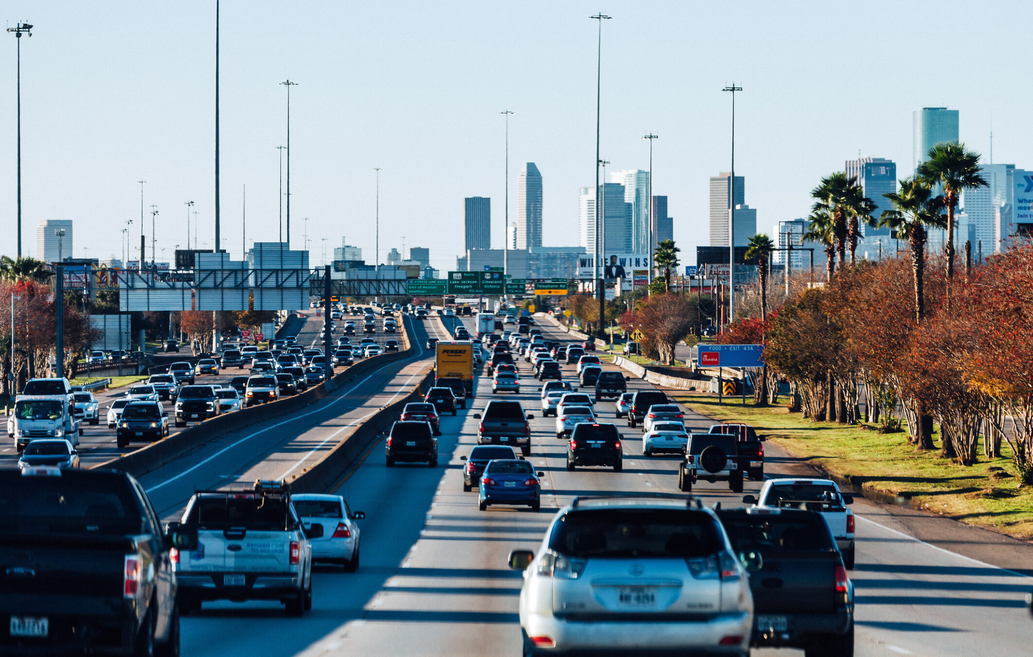
The success of Houston’s adaptive transportation networks and integrated management isn’t just measured by drivers feeling like they are spending less time sitting in traffic—it is backed by verified economic and mathematical metrics. Every deployed algorithm, sensor, and smart traffic light translates daily into massive numbers that showcase optimized urban spaces, boosted productivity from quicker commutes, and slashed operating costs across the region. A pragmatic engineering mindset has turned a chaotic megacity into a transparent, predictable system where every saved minute benefits the community.
| Performance Metric | System Impact |
| Time Saved | Over 15.9 million driver hours saved annually |
| Environmental Impact | Reduced idling = over 29 million gallons of fuel saved |
| Financial Impact | Over $544 million saved (via reduced delays and fuel costs) |
Additionally, the system is tied into flood forecasting through the TranStar Roadway Flood Warning System. Because Houston is prone to heavy downpours, water-level sensors automatically push data to digital signs and driver apps, rerouting traffic away from flooded underpasses before vehicles can get stranded.
Broadly speaking, Houston’s success is shifting the global urban planning paradigm. The modern battle against gridlock isn’t about pouring concrete; it’s about data processing speeds and algorithmic agility. Traditional road widening fails to solve congestion due to induced demand—where building more lanes simply invites more cars. Instead, long-term sustainability comes from digitalization, continuous passive monitoring via systems like AVI and AWAM, and autonomous, real-time network responses.
Ultimately, the Houston TranStar case study proves that combining artificial intelligence, interagency trust, and environmental focus turns basic traffic management into a powerful tool for sustainable urban growth. The future of mobility belongs not to massive concrete overpasses, but to intelligent networks capable of adapting instantly to any challenge—from daily rush hours to sudden natural disasters.